
Create Fantasy Maps from Text with AI
Describe the geography, scale, and cartographic style you need. Designkit turns your brief into an illustrated map for a novel or campaign.
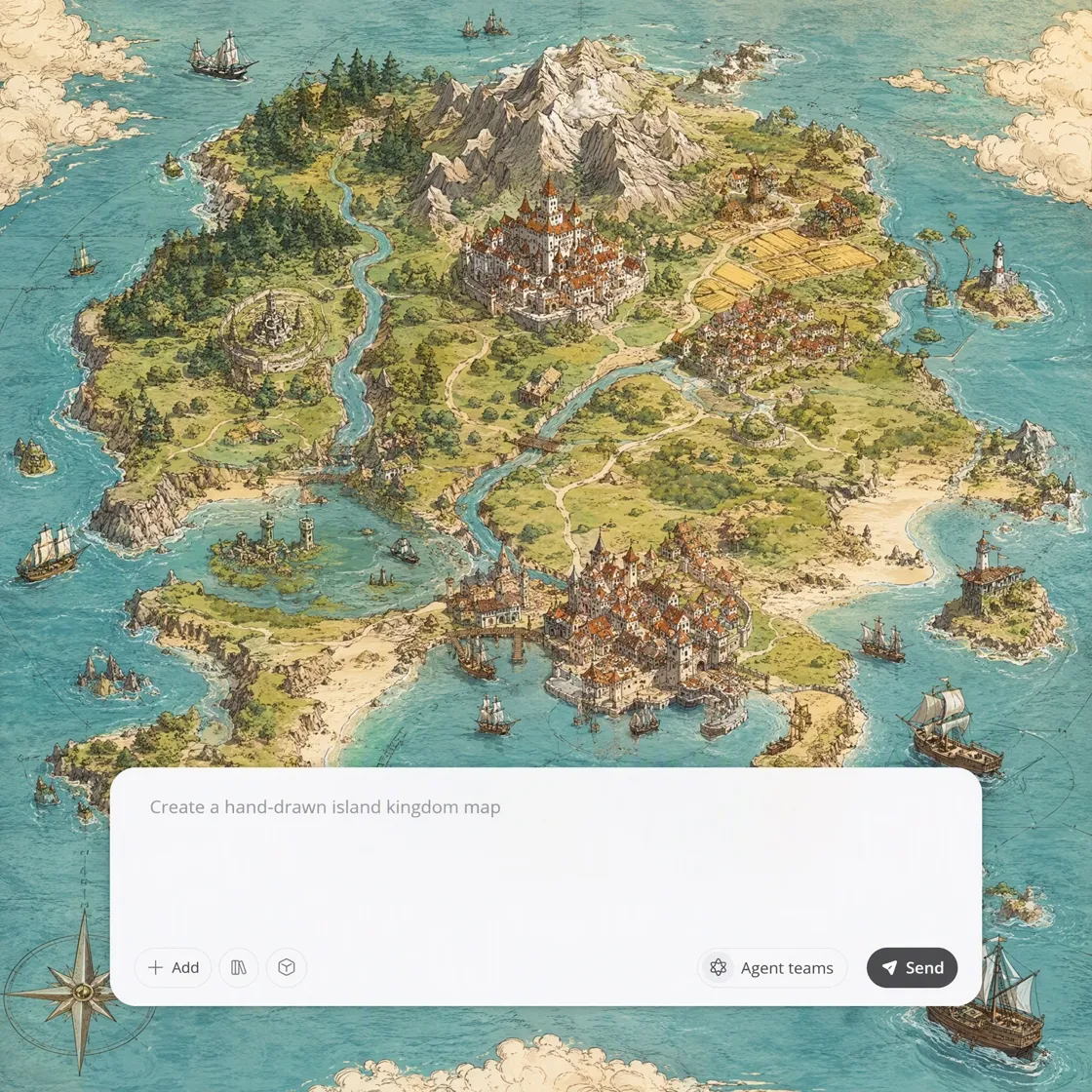
Generate Fantasy Maps from Worlds to Regions
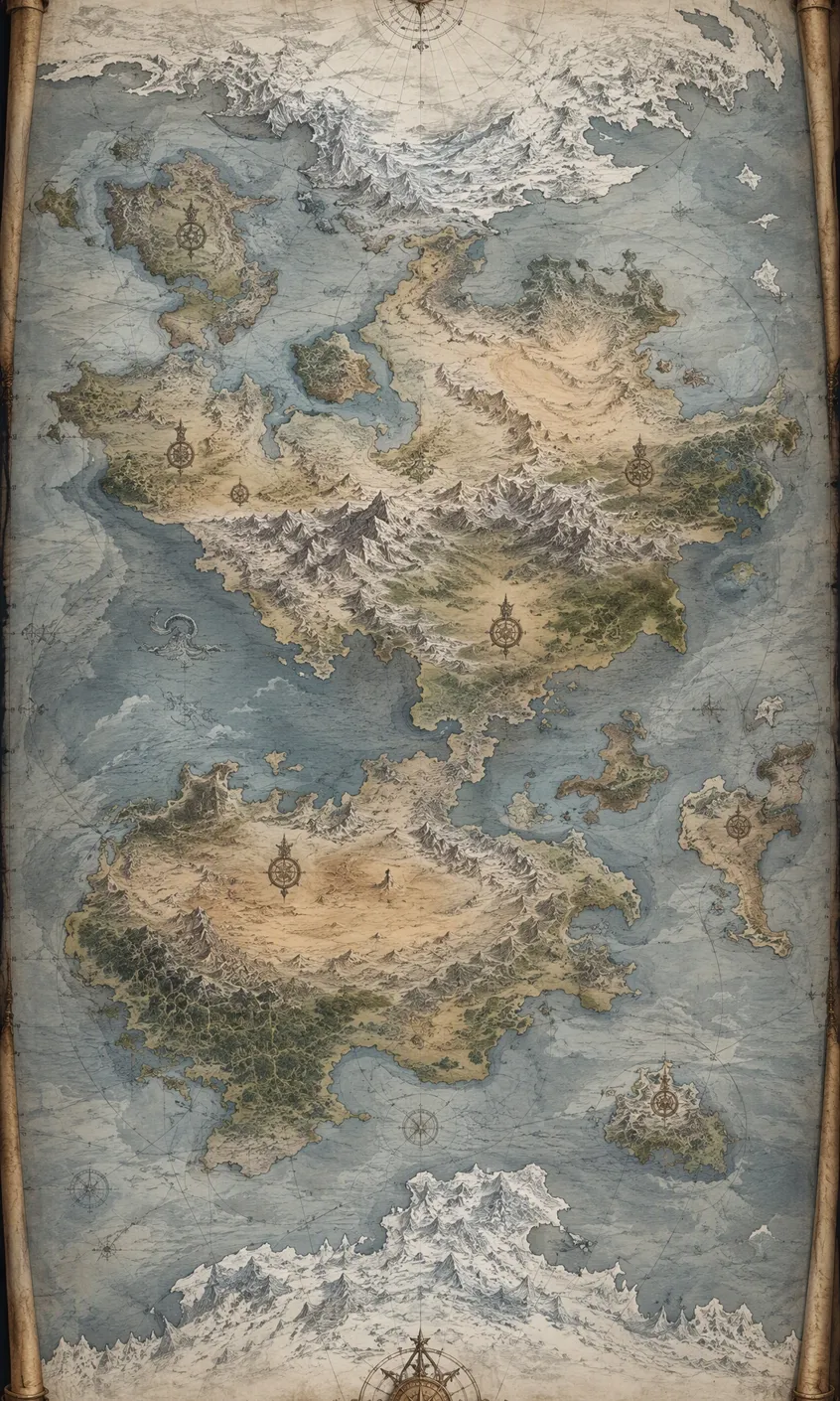
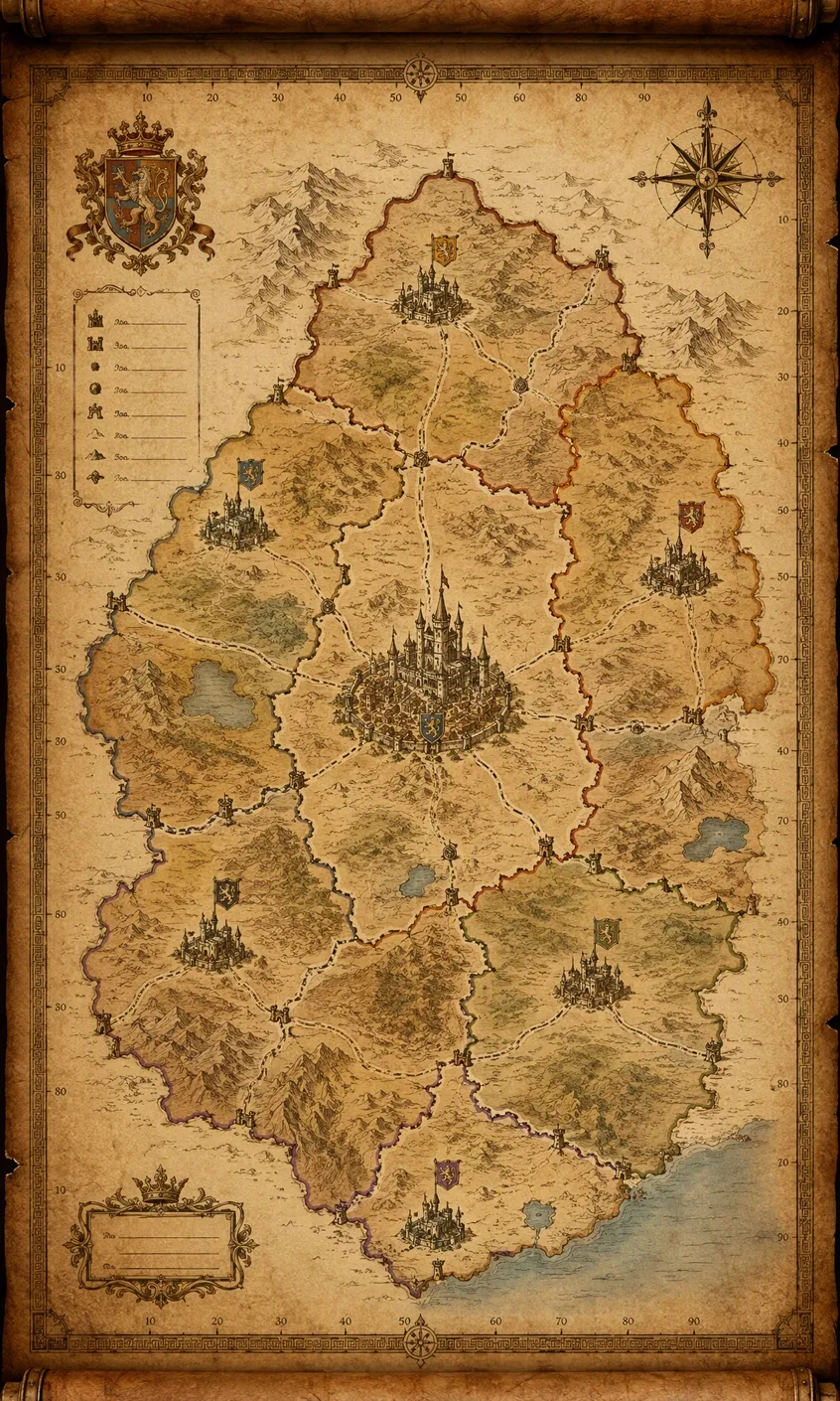
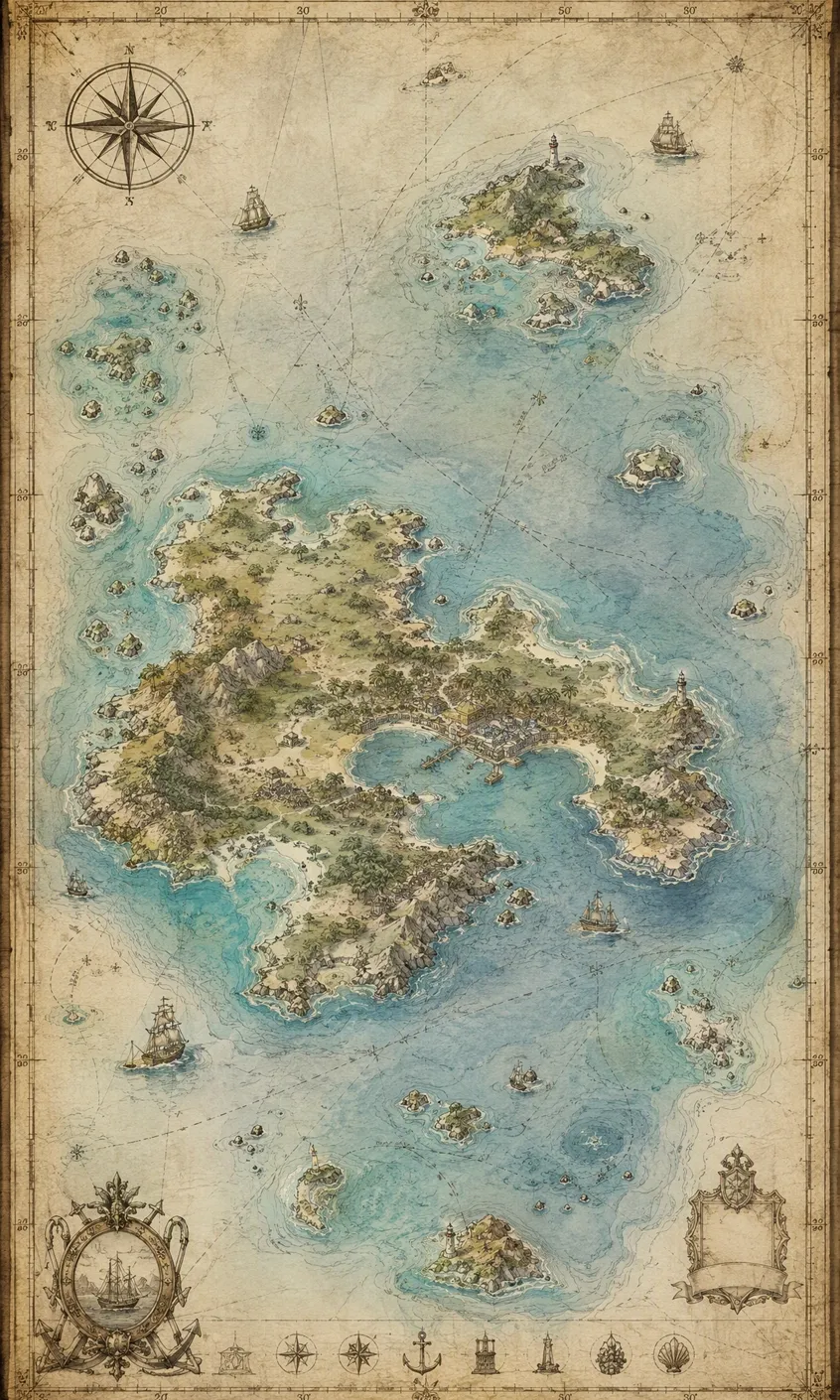
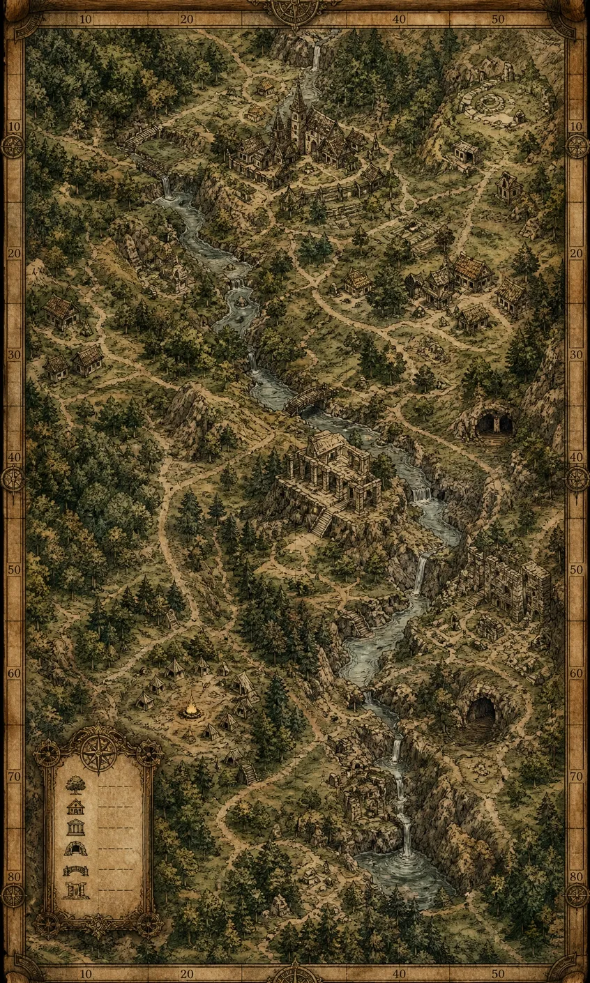
How to Map an Imagined World in 3 Steps with Designkit
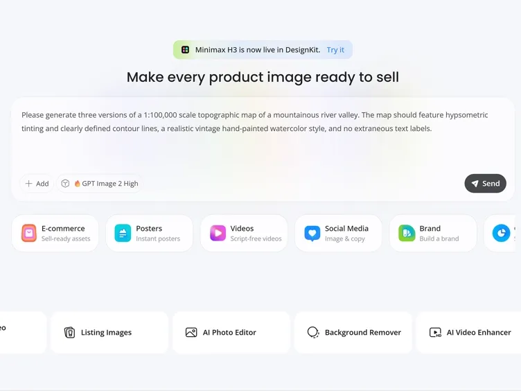
Write the Brief
Describe the setting’s scale, geographic structure, important locations, and intended cartographic treatment.
Generate the Map
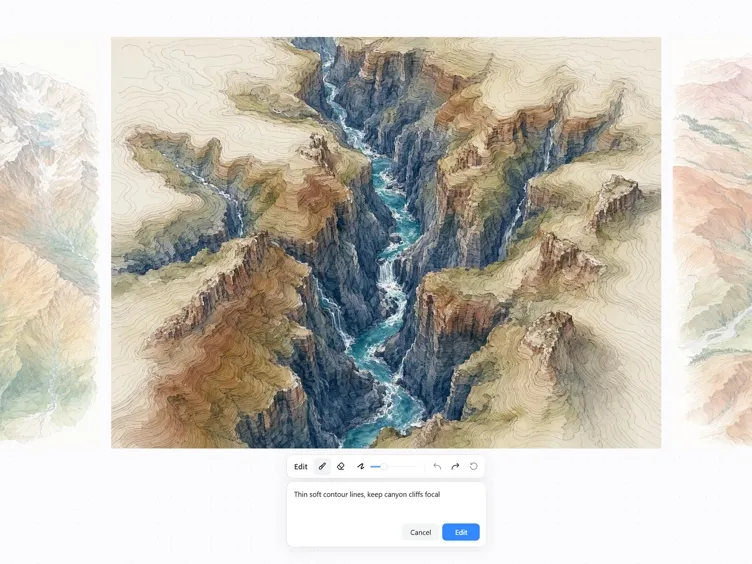
Select an AI model, generate several interpretations of the brief, and choose the version that best represents your setting.
Refine and Export
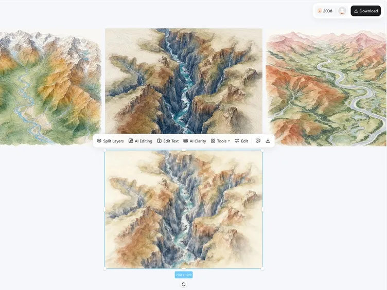
Revise the instructions or edit the selected result, then set its dimensions and download it as a JPG or PNG.
Control the Details That Define Your Setting
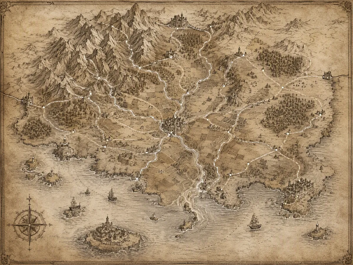
Arrange the Geography Around Your Lore
A believable setting depends on how its major features relate. Describe the spatial relationships that matter so Designkit can organize coastlines, borders, and routes around the internal logic of your world.
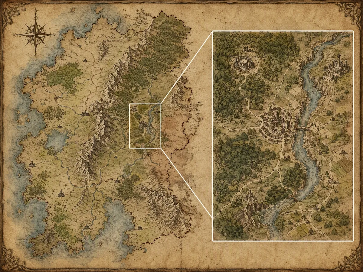
Frame the Right Amount of the World
A world map and a regional map need different visual priorities. Define the intended coverage so Designkit gives the central territory enough space while keeping the surrounding geography understandable.
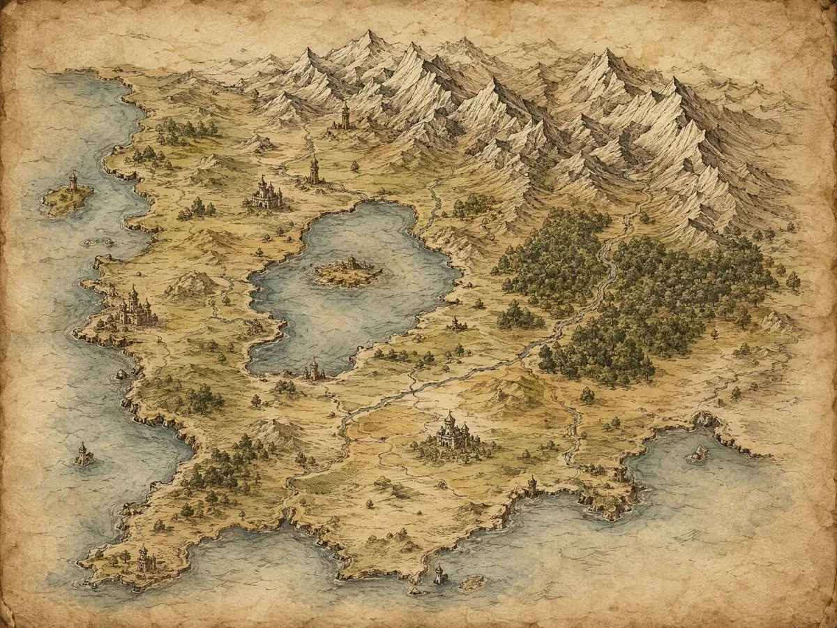
Establish a Recognizable Map Style
Cartographic treatment changes the character of a setting before any label is read. Describe the palette, linework, and texture you want so the full image follows one recognizable artistic language.
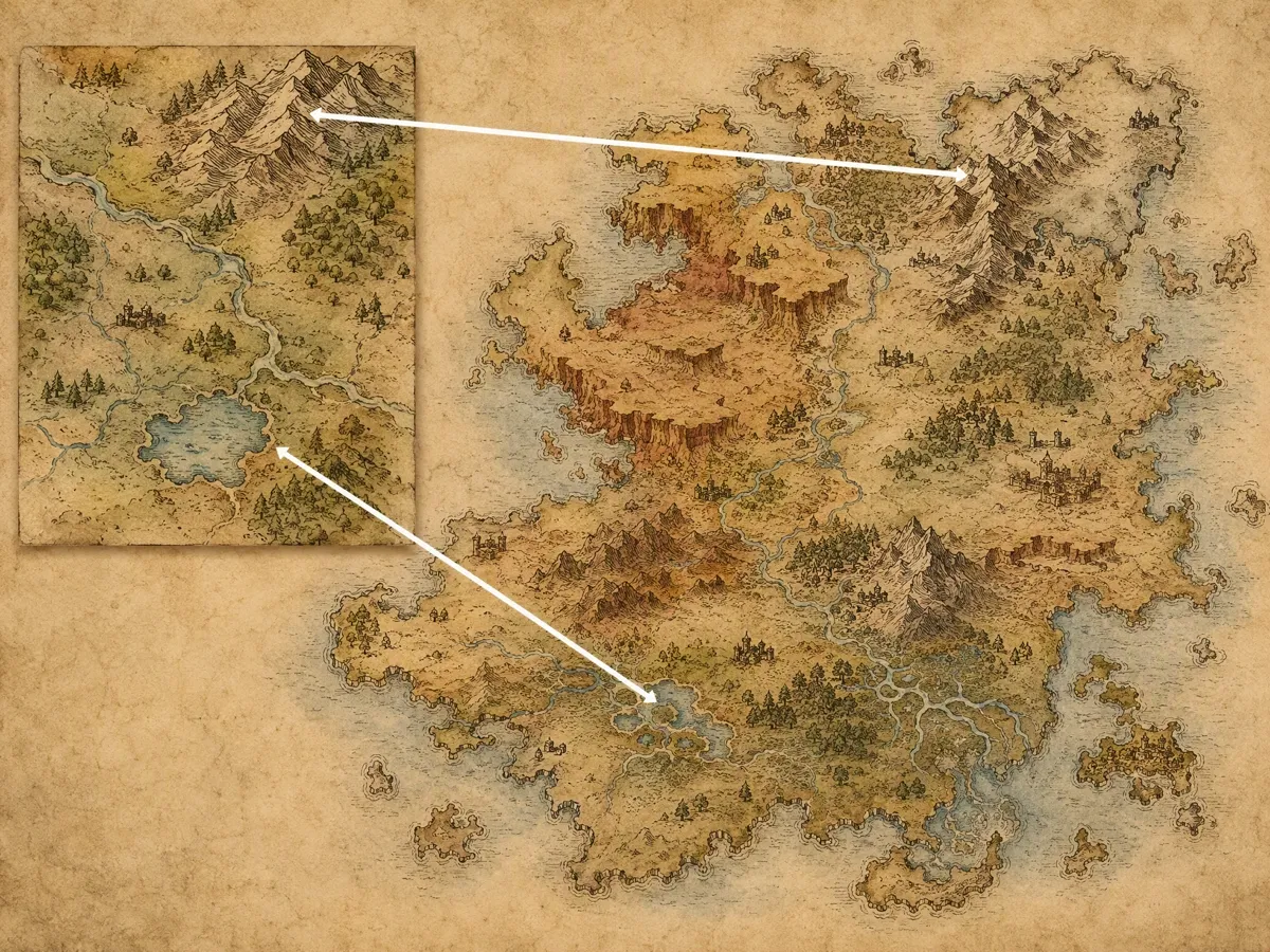
Guide the Look With a Reference
Some aesthetics are easier to show than explain. Add an optional reference image to guide the overall color character, texture, and composition while Designkit creates geography original to your setting.
Create Fantasy Maps for Stories and Game Worlds
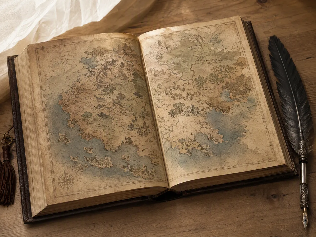
Help Readers Follow the Story’s Journey
A companion map can help readers understand where a journey begins, changes direction, and returns. Create an overview that supports the narrative without turning the page into a technical geographic document.
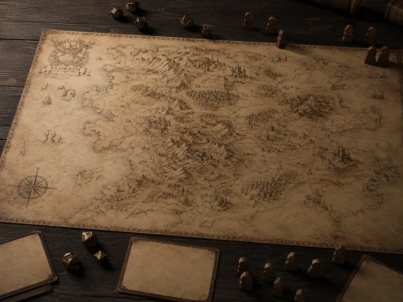
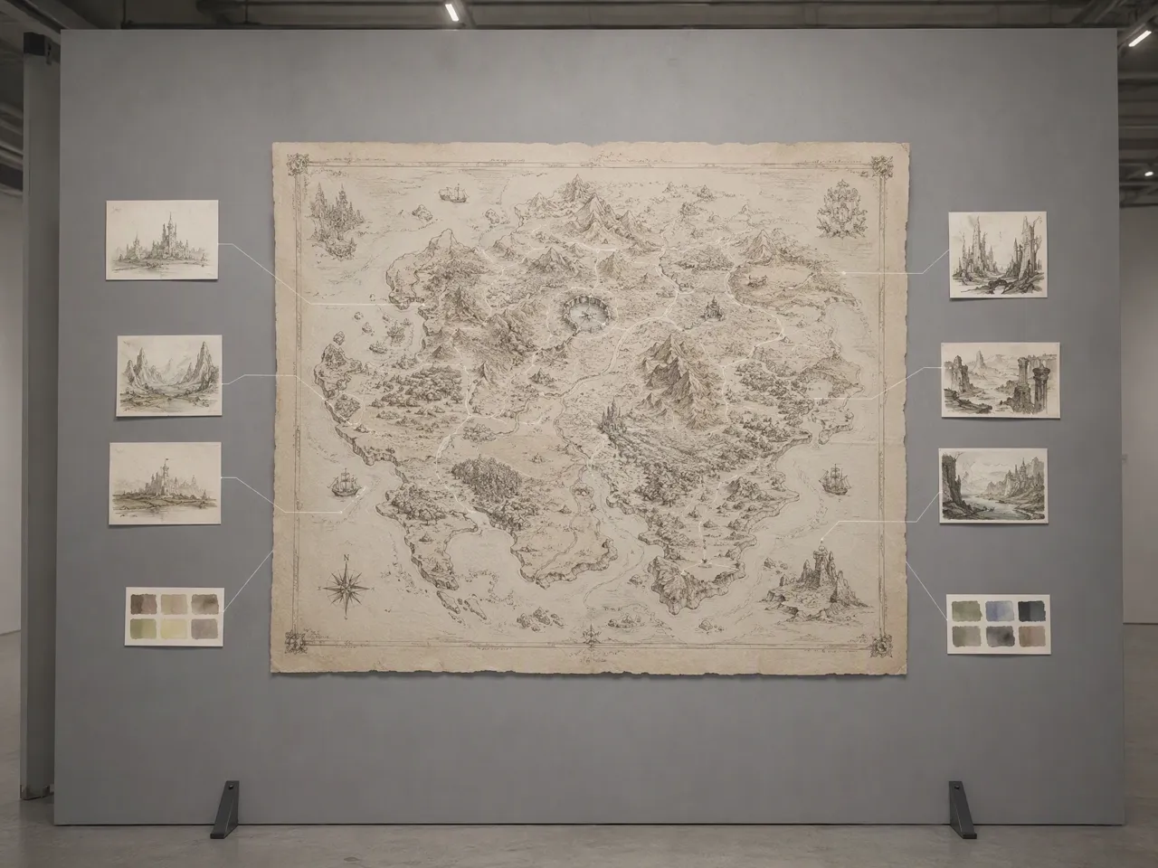
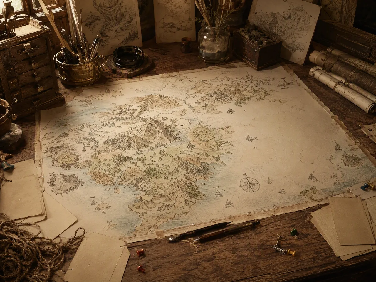
Why Choose Designkit for Fantasy Map Generation
Start Without Cartography Training
Layer-based map tools require training; Designkit lets occasional creators begin with language they already use.

Compare Complete Map Alternatives
Generate several full-map readings of one brief instead of assembling terrain pieces or rebuilding each proposed composition by hand.

Choose From Multiple AI Models
Single-model generators limit the treatment; Designkit applies the same brief across supported AI models.
Continue Beyond the First Output
Many dedicated generators end at download; Designkit keeps the selected image available for further adjustments.

Test Ideas Before Commissioning Art
Use an exploratory draft to settle unresolved decisions before commissioning an illustrator for a bespoke final map.

Keep Related Artwork Together
Keep maps and related artwork in one creative workspace instead of splitting the project across separate tools.
Unlock More Creative Possibilities
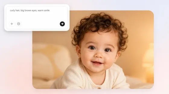
AI Baby Generator: Fun Baby Photos From Prompts or Photos
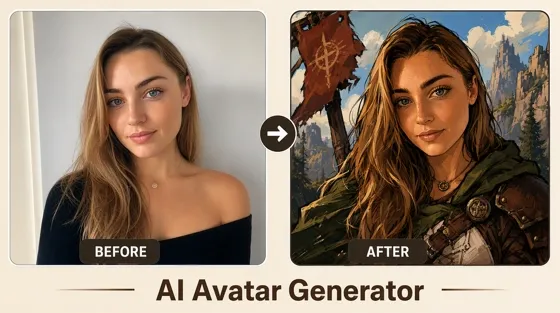
AI Avatar Generator: Create Avatars from Photos
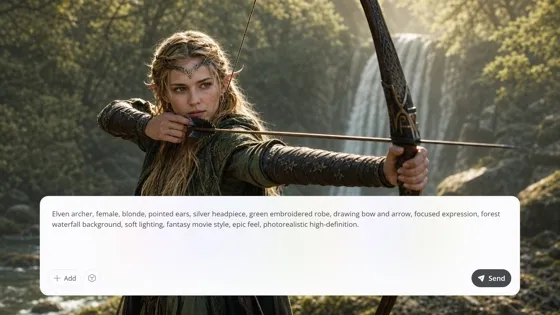
AI Art Generator: Create Art From Text, Photos, and References
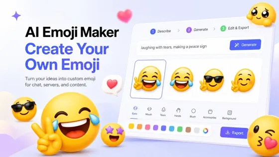
Emoji Maker: Create Custom Emoji From a Prompt
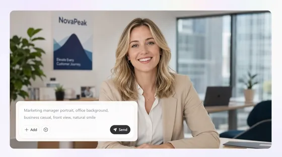
AI Human Generator: Create Realistic AI People Without Photoshoots
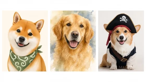
AI Pet Portrait Generator from Photo
AI Meme Generator from Text or Your Photo
Image to Image AI: Transform Images into New Styles Online
AI Stencil Maker: Turn Photos into Printable Stencils
AI Sticker Generator: Create Custom Stickers from Any Image
AI Storyboard Generator: Turn Scripts into Visual Storyboards
Silhouette Maker: Turn a Photo Into Clean Silhouette Art Online
Frequently Asked Questions
What does the fantasy map generator create?
How detailed should my fantasy map prompt be?
Start with the intended scale and main geographic structure. Add important spatial relationships and the cartographic treatment when they affect the full composition. Review an initial result before introducing smaller details that could overcrowd the prompt.
Can the generated map look professionally illustrated?
It can produce a cohesive illustrated map when the brief clearly defines the scale and artistic treatment. Results still vary by prompt and AI model, so review the geography, labels, and visual hierarchy before using the image in a finished publication.
Can I control the exact placement of locations?
You can describe where major features should appear and how they relate. The output remains an AI-generated illustration rather than a measured geographic plan, so exact distances and placements may require further adjustment.
Will every place name appear correctly?
Not necessarily. AI-generated lettering can contain misspellings or distorted characters, especially when many labels occupy a small area. Review each name and replace unclear text before publishing or sharing the map.
Is this the same as a professional fantasy map editor?
No. Designkit generates an illustrated map from a creative brief. It does not provide measured coordinates, draggable borders, terrain simulation, interactive markers, or battle-grid controls. Use dedicated cartography software when those functions are required.
Give Your Setting a Clear Geography
Bring the world behind your novel or campaign into view, then refine an illustrated map that gives every major place a clearer role.

What Story and Game Creators Say About Designkit
See how creators use an early map in pitches, project materials, community updates, and story development.
The Proposal Finally Landed
My proposal explained the rivalry between two kingdoms, but the stakes still felt abstract to an editor. Adding the map made the contested border and coastal access immediately understandable, so our next conversation focused on the story instead of clarifying where everything happened.
Players Used the Newsletter
Our campaign newsletter needed something more useful than another recap paragraph. I added the map with the party’s latest route marked separately, and players began using it to discuss theories between sessions instead of asking me to explain the region again.
The Project Wiki Became Useful
Our project wiki contained detailed location notes, but new collaborators struggled to understand how the entries connected. Adding the map as a visual index gave them a clear starting point, so they could find the relevant regions before reading deeper into the production documents.
Readers Stopped Mixing Up Regions
People following my worldbuilding posts kept confusing two neighboring regions with similar histories. Sharing the map gave each place a clearer geographic context, and the discussion shifted from basic location questions to the political relationship I actually wanted to develop.
The Map Unlocked Conflict
A workshop group had plenty of lore but struggled to find the next conflict. Looking at the map drew attention to an isolated trading town and the route around it. That geographic tension gave the group a new plot direction without changing the history they had already written.